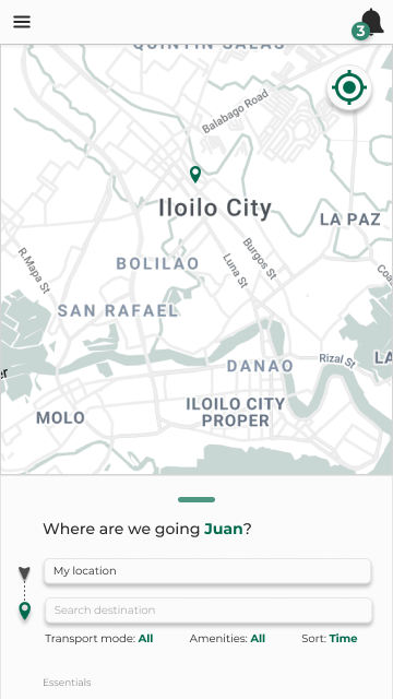
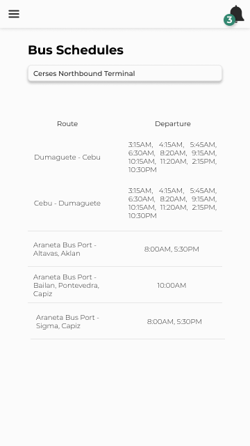
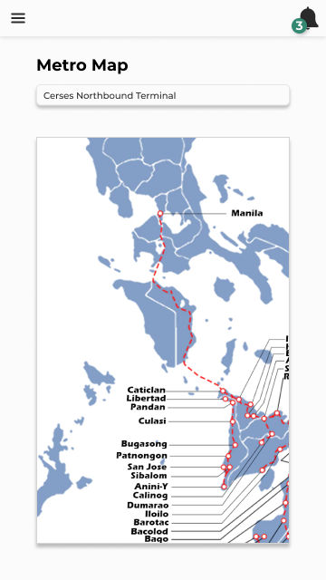
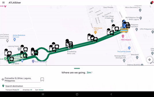
Featuring a mobile application for local travellers or tourists with the following features:


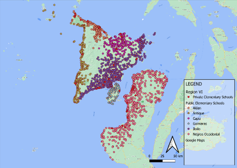
Data visualization of the inventory list of social services infrastructures in the region including:
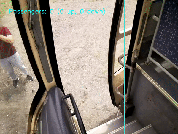
Real-time detection and counting of boarding and alighting passengers using:
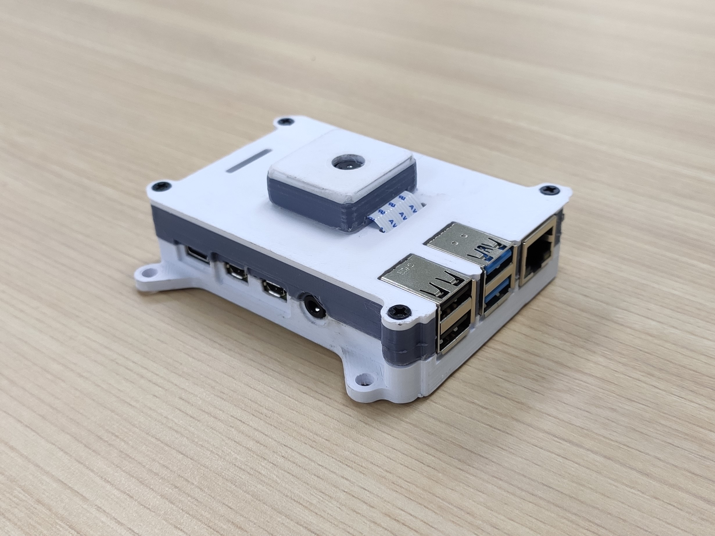
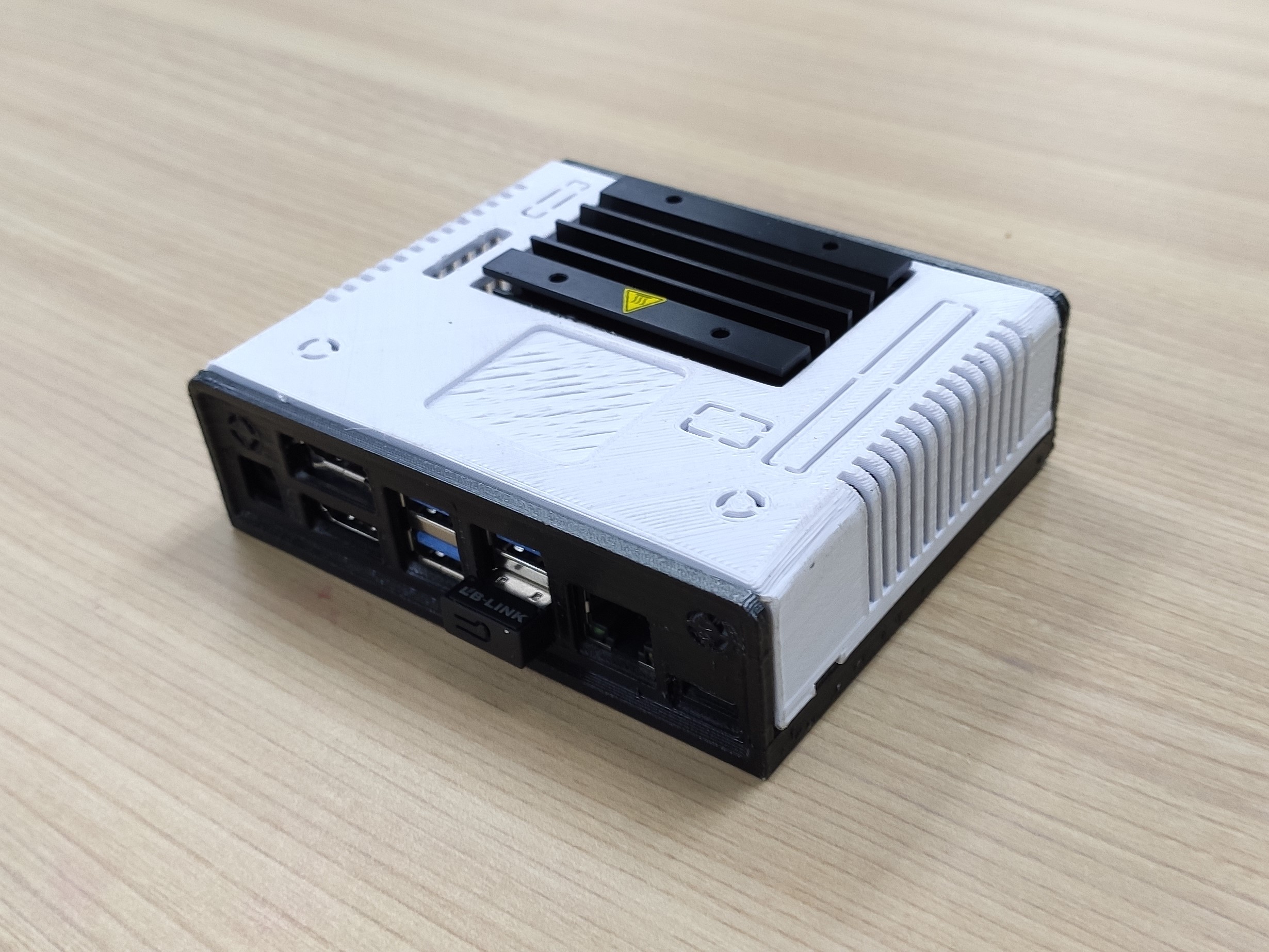
Developed using state-of-the-art real-time object detection algorithm capable of:
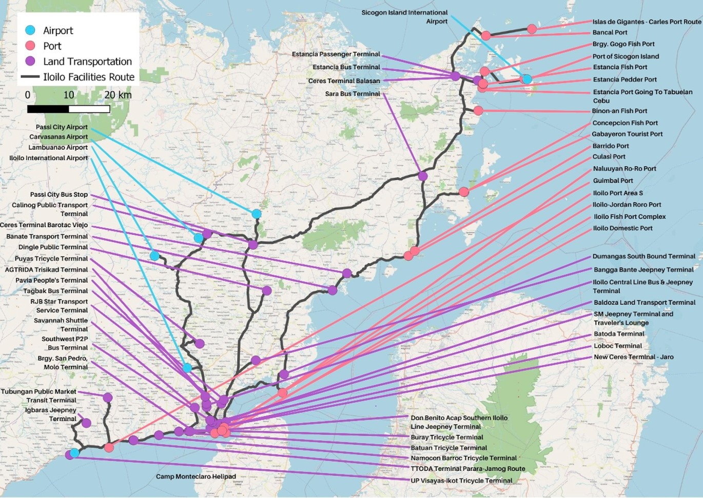
An integrated and optimal scheduling of the public transport system which presents:
The overarching objective of this program is to support the development of a sustainable local public transport route plan that integrates the road and maritime transport network of Region VI through use of developed technologies for the transport sectors.
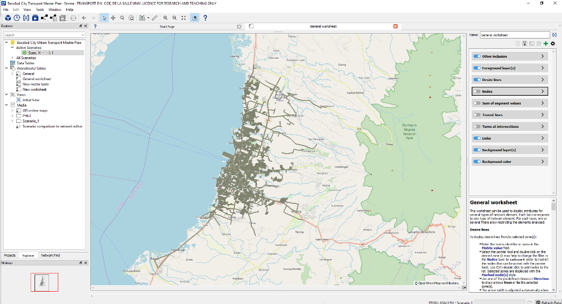
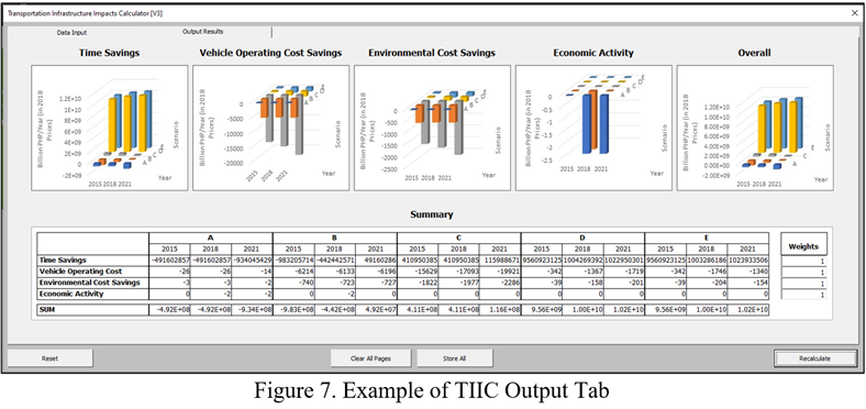
A tool that will aid in the evaluation of a proposed transportation project. It can process data concerning travel time, vehicle operating costs, environmental effects, accidents statitcs and vehicular flow to model economic intersectoral effects of changes in the transport sector